Bureau of Land Management (BLM)
The Conduit for Bureau of Land Management maintains a local copy of the BLM’s federal APD permit reports, public land survey system (PLSS) land grid layers, and surface management agency’s spatial layers. We provide the data designed specifically for Esri’s ArcMap, Tibco’s Spotfire, and Microsft’s Excel. Also included, areas of critical environmental concern (ACEC), land use planning areas (LUPA), and national conservation lands (NLCS) in SQL Server native spatial geometries.
The Conduit Managed BLM Database In ArcMap
The Conduit BLM data comes complete with a ready-to-run Esri ArcMap template for the ACEC, LUPA, NLCS, PLSS, Right of Way, State Boundary, and Surface Management Agency mapping tables. These are maintained in SQL Server Spatial tables and are performance-tuned and tested for ArcMap, ArcGIS Pro, ArcGIS Server, and Portal. Also, the map contains an activity layer showing the specific Federal Public Posting 30-day report records.

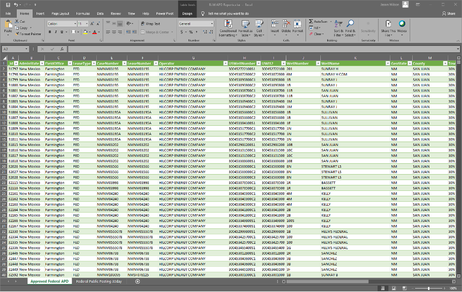
BLM Data in Excel and Spotfire
The Conduit BLM data comes complete with auto-updated Microsoft Excel and Tibco Spotfire templates for the approved federal APD and federal public posting 30-day reports. These are updated daily in SQL Server and refresh automatically upon launching the templates.