
Oseberg
The Conduit for Oseberg maintains a local copy of New Mexico, Oklahoma, and Texas completion, lease, and production data. We provide the data designed specifically for Esri’s ArcMap, Tibco’s Spotfire, and Microsoft’s Excel complete with ready-to-run templates built using SQL Server native spatial geometries.
Conduit Systems of Access Designed for Oseberg
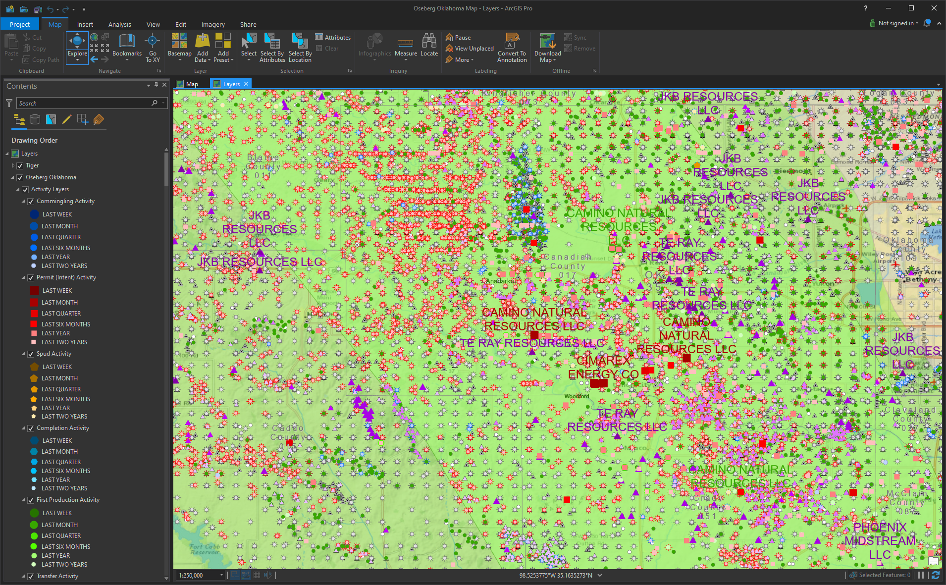
Conduit System Of Access for ArcMap/ArcGIS Pro
The Conduit for Oseberg data comes complete with a ready-to-run Esri ArcMap template for all your entitled data. These datasets are maintained in SQL Server Spatial tables and are performance-tuned and tested for ArcMap, ArcGIS Pro, ArcGIS Server, and Portal. The template includes recent activity layers for always updated activity mapping.
Conduit System of Access for Excel
The Conduit for Oseberg data comes complete with an auto-updated Microsoft Excel template for recent Commingling, Completion, Production, Permit, Pooling, and Spacing activity. These are updated daily in SQL Server and refresh automatically upon launching the template.

Conduit System of Access for Spotfire
The Conduit for Oseberg provides a Tibco Spotfire template that loads activity and data by state for Oklahoma, New Mexico, and Texas. This template loads and automatically refreshes the data in Spotfire upon launching the template pulling new data directly from the Conduit updated SQL Server database.
